
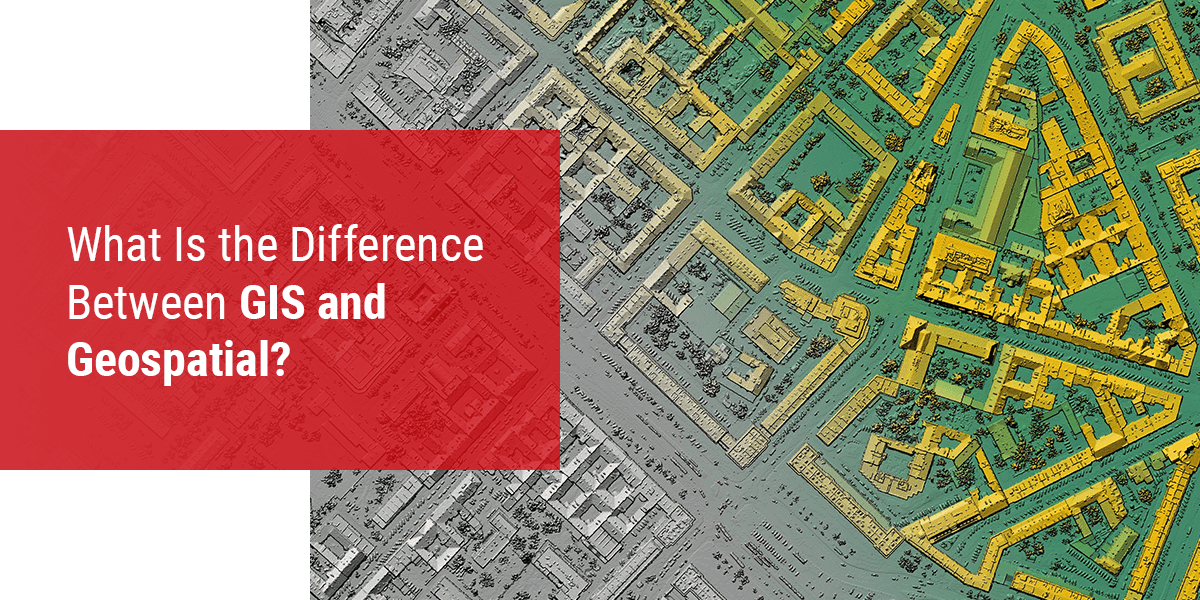
What Is the Difference Between GIS and Geospatial?
/
When it comes to modern advances in technology, nothing has impacted the lives of more people around the world than geographical data. People use geodata more than they may realize in their daily lives, from using their global positioning system (GPS) to go on vacation, to watching the news and seeing geographical stats and schematics related to a certain issue.
Geographical technology is everywhere, but many different types exist. It's important to know the differences between these types of technologies, especially if you're getting into the industry and want to understand more about its various sectors. When it comes to GIS vs. geospatial technology, the differences may seem subtle, but they are indeed important.
The Difference Between GIS and Geospatial
Geographic information system (GIS) and geospatial are two separate terms used to describe technology with a geographical component. Many people make the mistake of using these terms interchangeably when they are individual terms with their own unique meanings.
The confusion comes into play because there is some overlap between these terms. They are related because both have a geographical component, but the specificity of this component is where the difference lies. All forms of GIS are a type of geospatial technology, but not all geospatial technology is a form of GIS. More specifically, geospatial is a broad term that includes various types of geographic imagery and mapping technology, and GIS is one form of that technology.
Let's take a closer look at these two terms so you can better understand how they differ.
What Is Geospatial?
"Geospatial" has recently grown in popularity as a word describing the collective data and various associated technologies that have a locational or geographical component. We'll look more closely at some types of geospatial data and technologies a little later. For now, it's important to know that this term is relatively new and encompasses a broad range of other terms, including GIS. Geospatial is like the umbrella covering the various types of geographical data and technology.
What Is GIS?
GIS is a specific type of geospatial technology that stores geographic information in layers and integrates that data with software programs. These software programs can then create, store, manipulate, analyze, and even visualize the data for further use by you, the user. By extension, GIS gives you an added dimension to how you can use the geographical data you gather.
GIS lets you connect the information you have about a physical location with the things or places within that location. Then, you can get a better understanding of your subject, getting the information you need for your purposes. Giving data a relatable location lets you pull a relationship from it and visualize it to gain a greater depth of understanding than would be possible without the added layers of interactivity GIS provides.
What Is Geospatial Data?
Geospatial data is a critical component of GIS and geospatial technology as a whole. Without this data, you would be unable to enjoy the benefits and insights provided when geospatial technology puts it to use. It's important to remember that data is just gathered information from various sources. Geospatial data is special in that it must have something to do with geography.
Like the different types of maps available that reveal unique information about a specific area's topography or population, geospatial data can give incredible insights into areas on Earth. Every location is unique. People in these diverse locations experience different realities as a result of the world around them and their area's unique customs, history, and culture.
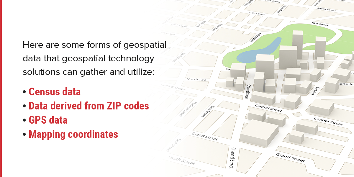
This gathered geographical data can be useful for a host of reasons. From the largest corporations to the individual on their way to a new restaurant, geospatial data is a major part of people's lives whether they know it or not. Here are some forms of geospatial data that geospatial technology solutions can gather and utilize:
Census data
Data derived from ZIP codes
GPS data
Mapping coordinates
Of course, data is little more than numbers. The geographical location where these numbers come from is what gives them context. Knowing how many people have health insurance may be unhelpful and overwhelming for a local health insurance agency. That same health insurance company may find data revealing how many people lack health insurance in their town and the next town over to be extremely helpful. They can then use that data to craft a marketing approach to reach those people needing health insurance.
What Is Geospatial Technology?
Geospatial technology is a broad term that includes the many types of software, devices, and equipment that take geospatial data and turn it into something useful. These various types of technology often categorize or organize the gathered data into visual or interactive displays using maps. In other words, geospatial technology acquires, manipulates, and stores geographic information. Then, you'll be able to see how the data in question relates to a location and how location may affect your subject.
Here are some examples of geospatial technology:
Geofencing
GIS technology
GPS devices
Remote sensing
Geospatial technology has become more readily available to consumers than ever before thanks to the advancement of computers, information sharing, and the internet. When people want to learn how to get to a new restaurant or reach a vacation destination, they can simply pull out their smartphone or dedicated GPS device, type in the address, and follow the prompts to arrive. This is a common yet ever-increasingly helpful example of geospatial technology in action.

Contact GeoDecisions Today to Learn More About GIS
When you need the best location-based solutions on the market, turn to GeoDecisions. We provide top-tier GIS services, combining technology and science to give you the comprehensive map data you need. We service numerous fields and industries, including environmental sustainability, aviation, insurance, public safety, transportation, and even federal government agencies. When your business needs GIS, we can help you implement it within your processes to give you the benefits of ongoing geographical data.
We have the GIS solutions and services you've been looking for. We can even provide you with cutting-edge products to further turn your company's geographical data dreams into a reality. Contact us today for more information about how our GIS services can help enhance your business while driving essential insights. We look forward to serving you and helping you experience the benefits of GIS!


