

Gannett Fleming Positions Qatar as a Geospatial Leader Through National Mapping Project
/
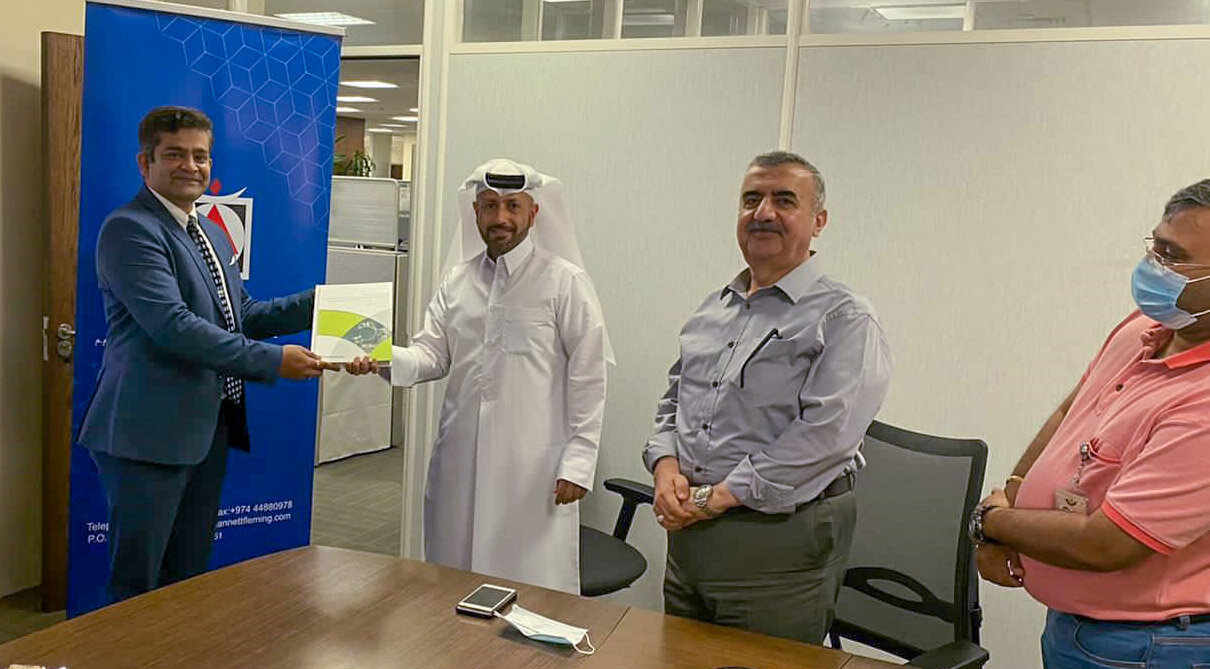
After four years, three project phases, and the creation of 2,778 maps, GeoDecisions®, the geospatial division of Gannett Fleming, completed the GIS Services for National Mapping Project for the Centre for Geographic Information Systems (CGIS), Ministry of Municipality and Environment (MME) in Doha, Qatar. The project began in November 2016 and was completed in November 2020.
The MME has a requirement they must meet every three to five years to maintain up-to-date digital maps for the entire country. To complete this task, they needed highly accurate and complete spatial data including aerial photographs, orthoimagery, vector data, satellite imagery, mobile mapping system, aerial LiDAR, digital elevation model (DEM), and a geoid model update. After a technical and price evaluation, Gannett Fleming took ownership of the project and has since raised the standards of the legacy project.
According to Mr. Manaf Al-Sada, director of CGIS, “The successful execution of this project has enabled CGIS to maintain Qatar’s place as a world leader in geospatial technologies and national dataset quality.”
The team, led by Project Manager Dr. Hazem Barakat and Deputy Project Manager Kalyan Chakravarthi, partnered with a team of international experts to provide project management and quality control for the acquisition of various photogrammetric products for MME and other government agencies to use in Qatar, such as current aerial photography, satellite imagery and aerial LiDAR. From those base products, all involved parties derive vector planimetric data, orthophotos, DEM, and LiDAR classified point cloud. With the addition of new hardware and software, MME can also now support ongoing maintenance of these imagery deliverables.
The new GIS tools resulting from this project will improve storage, manipulation, and sharing of spatial data with decision-makers and other parties, allowing them to analyze and interpret the data easily. The tools and data will also allow the MME to conduct a detailed analysis of Qatar's land use and build models to develop future land-use scenarios.
Visit the project profile to learn more.


