
Improving Transportation Operations with GIS in Florida
/Client: Florida Department of Transportation (FDOT)
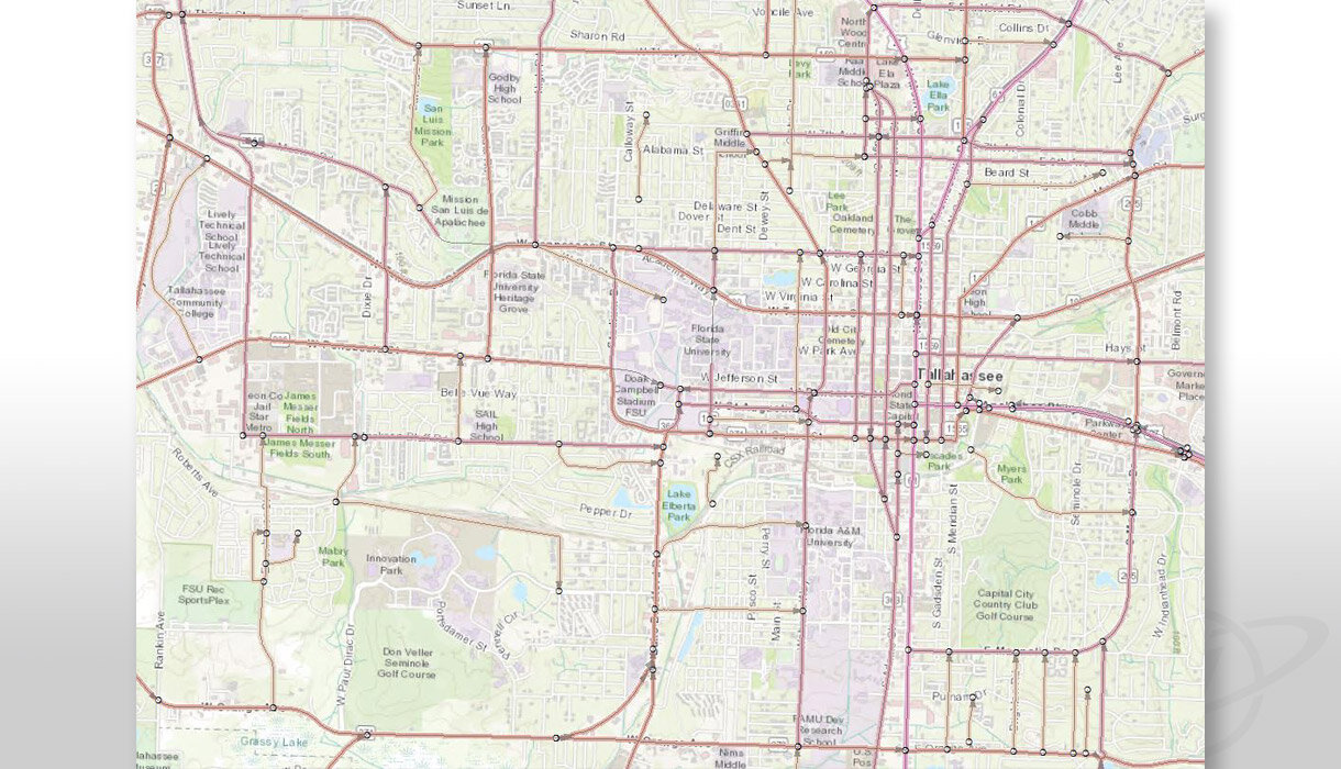
Location: Tallahassee, Florida
CHALLENGE
The Florida Department of Transportation (FDOT) Transportation and Data Analytics Office (TDA) maintains the agency’s linear referencing system (LRS) and roadway characteristics inventory (RCI). The LRS and RCI data are used throughout the department by a myriad of enterprise systems, critical decision-making processes, and mandated data reporting. The existing RCI system relies on a legacy mainframe system that has served the agency well over the decades, but the system needed an upgrade.
SOLUTION
GeoDecisions was brought in to help FDOT improve transportation operations with GIS. GeoDecisions needed to transform FDOT’s business processes, redesign their LRS and road inventory data model, and meet data reporting requirements more efficiently. In addition, FDOT needed to migrate from the mainframe system to facilitate the use of current geospatial data maintenance processes and data management practices.
To achieve this goal, the Integrated Roadway Asset Identification System (IRAIS) was initiated – the migration from existing business processes and mainframe operations to a system and methodology using geospatial data and service-based architecture. IRAIS includes the implementation and configuration of Esri’s ArcGIS Roads and Highways (R&H), as well as workflow enhancements, and the identification of system integration options. R&H is an enterprise LRS linear solution that enables departments of transportation to maintain road inventory data on an authoritative route network that provides a comprehensive view of location reference and temporal roadway information.
With IRAIS, GeoDecisions is assisting FDOT team members to define the structure of the data and business processes that will be iteratively configured within R&H based on the agency’s requirements and industry best practices. Working with LRS editors, road inventory data managers, IT staff, and other stakeholders, GeoDecisions is refining existing functional tasks and defining new data flows to help transform how this core dataset is maintained and understood by FDOT. IRAIS is helping to provide a spatial and temporal perspective on how to not only maintain data, but how to leverage it as an asset for enhanced use across the agency.
KEY TECHNOLOGY
Esri ArcGIS Roads and Highways
Esri ArcGIS Portal
Esri ArcGIS Desktop, Workflow Manager, Data Reviewer
KEY RESULTS
Migrating roadway characteristic data from legacy system to sustainable technology platform.
Developing efficient LRS and road inventory data maintenance business processes and technical workflows.
Defining new transactional database model.


