
Using ArcGIS to Build Better Data Platforms with the Virginia Department of Transportation
/Client: Virginia Department of Transportation
Location: Virginia
Challenge
Per the Governor of the Commonwealth of Virginia’s Executive Order 19, the Commonwealth of Virginia needed to make sure they were continuously evaluating how information technology services were delivered to those who live and work in the state. In response to this order, the Virginia Department of Transportation (VDOT) evaluated their systems to determine if they were on pace with the rest of the technological marketplace.
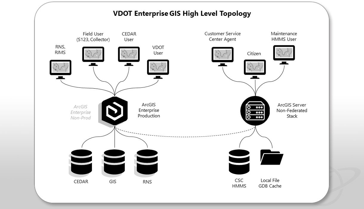
At the core of these technologies is VDOT’s Enterprise GIS system, which is deeply integrated with several critical IT systems and workflows. These components consist of web servers, application servers, and database servers that support specific and coordinated roles in Esri ArcGIS server stacks. Due to aging hardware and software infrastructure, VDOT prioritized updates to their existing system, including data migration into an upgraded GIS platform.
Solution
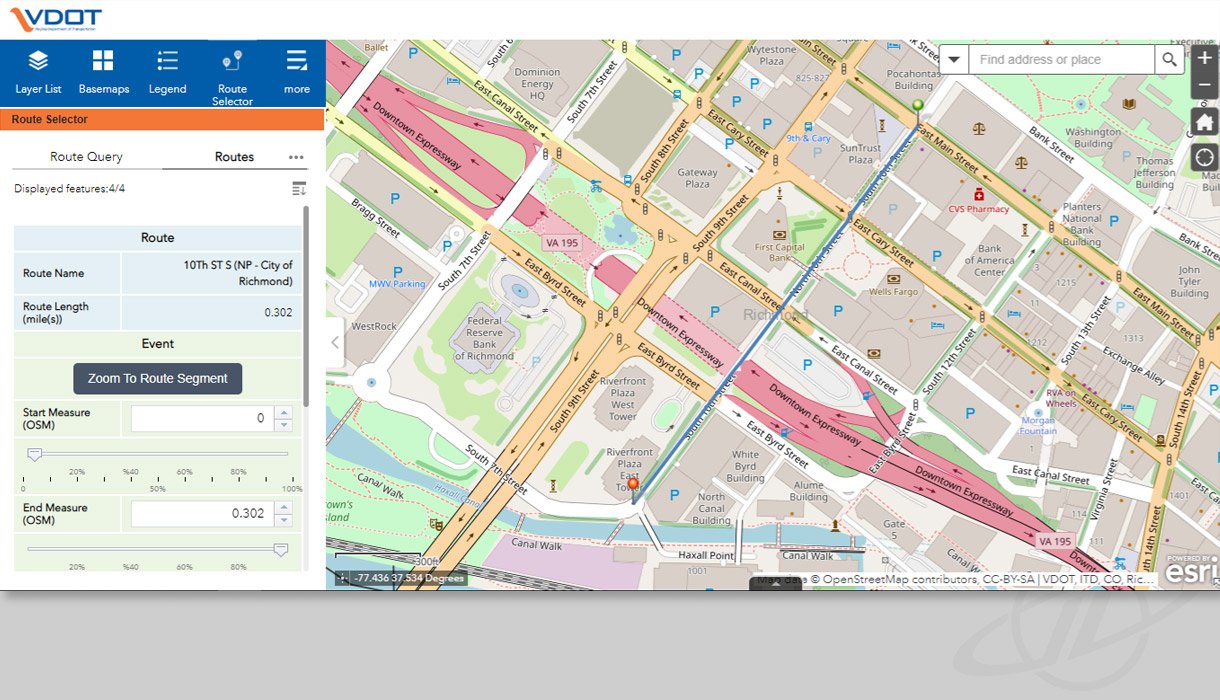
GeoDecisions worked with VDOT to upgrade the agency's enterprise GIS technology platform and migrate content from existing databases to a new data center. During this process, VDOT needed to maintain operational capabilities. GeoDecisions’ upgrade allowed the agency to leverage a current technology platform to improve line of business applications and enhance their spatial analysis and data maintenance functionality. This upgrade also allowed VDOT to consolidate its existing federated GIS databases and services, improving reliability and reducing maintenance overhead. The upgrade and migration project facilitated other related efforts, such as the re-engineering of the Integrator web mapping application (MARS project), the integration of data and service with other systems, and the increased availability of GIS tools and processes among stakeholders at the agency.
To increase and advance the uses of spatial data for analysis, reporting, visualization, and decision making, VDOT needed their GIS technology to leverage Virginia’s existing investment in reliable and authoritative data. Working alongside Information Technology Division (ITD) staff and key stakeholders, GeoDecisions utilized an Agile approach to securely implement the steps and processes necessary to enhance the geospatial platform. The GIS upgrade and migration impacted multiple agency enterprise systems, including the Roadway Network System (RNS), Road Inventory Management System (RIMS), Pavement Management System (PMS), Pavement Maintenance and Scheduling System (PMSS), Highway Performance Monitoring System (HPMS), Comprehensive Environmental Data And Reporting (CEDAR) system, and Customer Service Center (CSC), among others.
In conjunction with other software updates across VDOT, GeoDecisions held daily technical breakout meetings to make sure the parallel implementation efforts went smoothly. Working closely with VDOT’s technical staff, GeoDecisions conducted testing as VDOT migrated data to their new system. Since this platform was leveraged by both multiple VDOT business units and other Virginia government agencies, VDOT ITD and GeoDecisions made sure the software and data were compatible with each user group.
Key Technology
ArcGIS Enterprise (10.8.1)
ArcGIS Portal
WebApp Builder
REST Services
Oracle (12c)
Key Results
Upgraded VDOT’s ESRI platform to the most current version.
Migrated Enterprise GIS applications to be compatible with the new platform capabilities.
Coordinated testing of the new system from both a software and data perspective.
Built a new enterprise web-based mapping application using Commercial Off the Shelf (COTS) software.


