Seaport Assessments and GIS Support for USTRANSCOM Ports for National Defense
/GeoDecisions and Gannett Fleming Collaborate to Increase Data-Driven Decisions
Client: United States Transportation Command, Surface Deployment Distribution Command
Location: Worldwide
Initially Published: January 2022
Updated: June 2023
Challenge
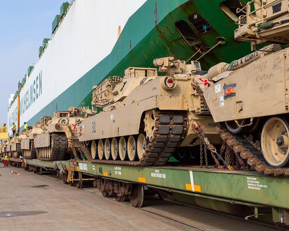
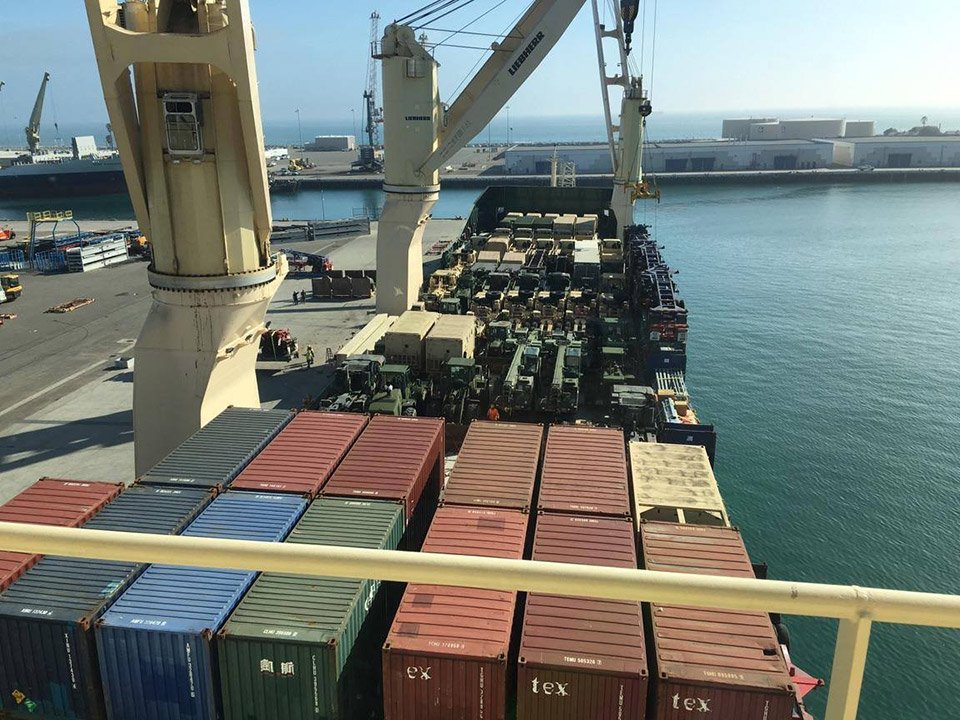
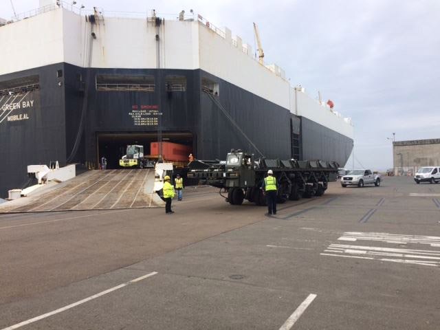
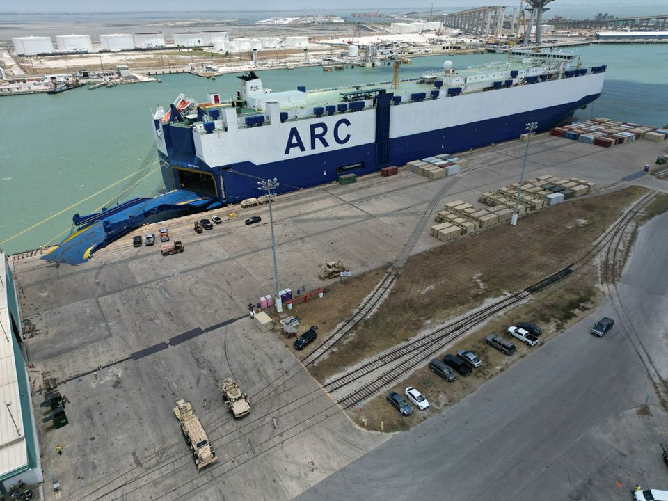
The United States Transportation Command (USTRANSCOM) Surface Deployment & Distribution Command (SDDC) provides the U.S. Department of Defense (DOD) with responsible and strategic mobility. Commercial seaports throughout the U.S. transition into military bases during national defense emergencies to support DOD needs to deploy military cargo. Taking advantage of peacetimes, GeoDecisions assists USTRANSCOM with:
Seaport assessments.
Risk assessments.
Geographic information systems (GIS) technology data collection.
Deployment logistics modeling and planning.
Solution
GeoDecisions, a division of Gannett Fleming, provides services through an indefinite delivery/indefinite quantity (IDIQ) contract, which was recently re-awarded for another five years. Together with Gannett Fleming, we lead the seaport assessments and geographic information systems supporting Ports for National Defense (PND) and mission-critical activities.
Port Assessments
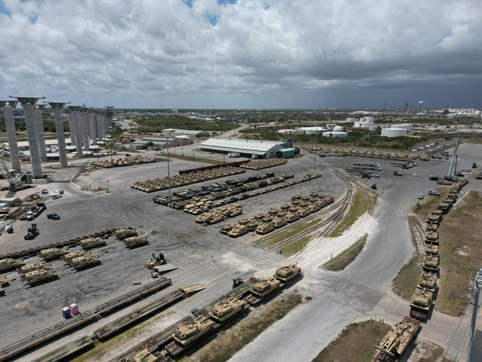
PND needs real-time data visualizations to understand berth availability, infrastructure access, loading and unloading capacity, and warehouse and laydown storage capacity to best respond to national security threats.
An additional component is to optimize routes—via rail and roadways—to the port locations. The route optimization tools increase planning efficiency by considering rail analysis, road route dependability and efficiency, seaport security, and seaport dissemination tools. These include:
Rail analysis tool: Analyzes various railroad tracks and lines to specific seaport locations, identifying the most efficient route. This tool considers train length, berth location, and staging locations in its analyses.
Road route efficiency tool: Uses the same technology as the rail analysis tool with a focus on roadways.
Seaport dissemination tool: Extracts data from the PND database without geospatial technology. The tool exports the attribute data into Excel for easier review.
GIS Technology
Leveraging the power of location data, GIS and geospatial technology play a critical role in analyzing seaport infrastructure and national port readiness networks by introducing the power of location data. To best support DOD needs, we gather the following GIS data points:
Port access infrastructure.
Port terminal infrastructure.
Quantity of seaports.
On-port seaport features.
Off-port seaport features.
Our GIS experts digitize information provided by PND into GIS and geospatial maps, making important attributes easier to view and analyze, including roll-on/roll-off (RORO) data, lift-on/lift-off (LOLO) data, berth size, crane capability, terminal storage space, and rail line and road access. These maps also allow military planners to complete more detailed seaport analyses to determine seaport selection rapid response.
Additional GIS tasks include:
Create and enhance GIS datasets, tools, scripts, and server interfaces.
Review and document workflows and provide new methods to increase productivity and accuracy.
Software installation, configuration, and implementation.
Models and Simulations
GeoDecisions uploads the GIS data to run throughput simulations in the Analysis of Mobility Platform (AMP), Seaport Simulation Tool (SST), and Seaport Throughput Tool (STT). The simulations help USTRANSCOM determine the best locations and routes to ship cargo overseas, including helicopters, brigades, and armored vehicles.
The project also contains an international component for outside Continental United States (OCONUS) seaport assessment and GIS collection. GeoDecisions compiled OCONUS data on seaport facilities to assist military planners with selecting the best international seaports. These simulations include data points such as seaport facility infrastructure, available modes of transportation, the proximity of railways and roadways, and site logistics.
Key Technology
Leveraging our platinum partnership with Esri®, we implemented multiple Esri technology tools:
Esri ArcGIS Pro.
Esri ArcGIS Enterprise Portal.
Esri Spatial Database Engine (SDE).
Esri ArcGIS Earth.
Key Take-Aways
Improved deployment force effectiveness.
Enhanced modeling and simulation platforms.
Increased ability to respond quickly to emergency deployments.